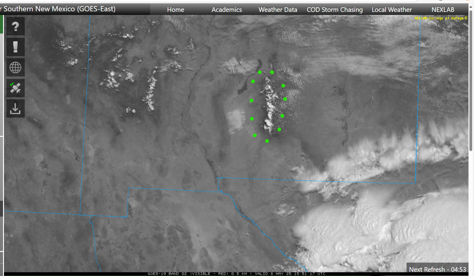
Strong convective development over the mountains of southern New Mexico...even before 10AM.

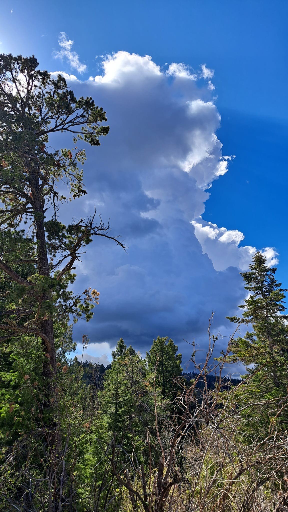
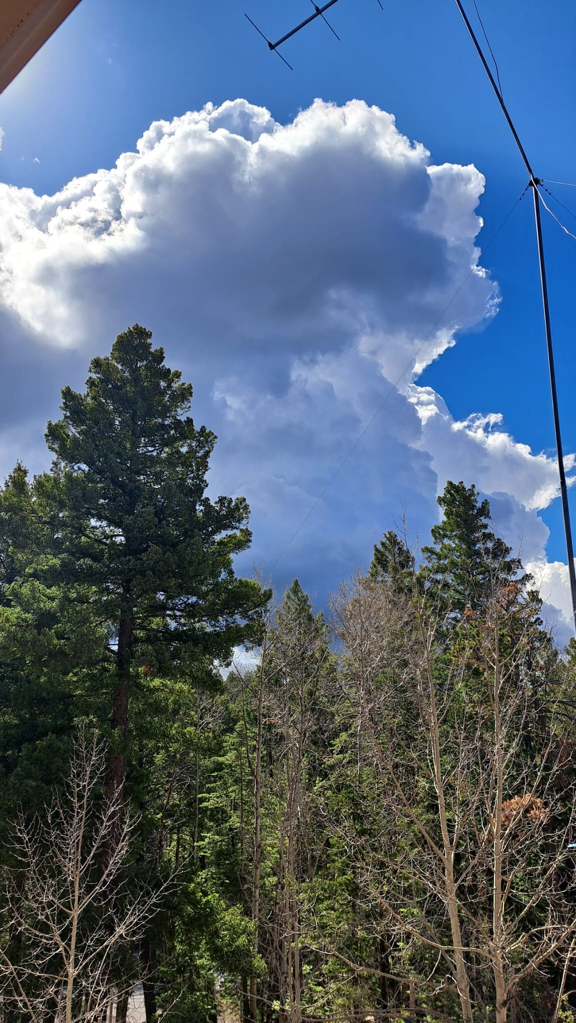
These two photos show rapid growth of a towering cumulus, especially the top.

But this development is very localized...along the convergence line/zone. (See weather satellite image)

en.wikipedia.org/wiki/Converge

I expect that we'll have localized showers soon.

A towering cumulus cloud before 10AM. Note how dark and well defined the bottom is.The same towering cumulus, but only a minute later. The top has expanded a large amount.The convergence zone over the Sacramento mountains of southern New Mexico has been encircled by green dots.

A couple miles to either side of the convergence line...the weather is sunny. Along the convergence line we see rapid, strong convective growth in the form of towering cumulus that I expect will turn into rain showers soon.

This weather satellite image is monochrome...red light, which provides the highest ground resolution for this satellite.
0

If you have a fediverse account, you can quote this note from your own instance. Search https://universeodon.com/users/KrajciTom/statuses/114473069002364930 on your instance and quote it. (Note that quoting is not supported in Mastodon.)