Special Weather Statement, Lower Kobuk Valley; Upper Kobuk Valleys; Southern Seward Peninsula Coast; Interior Seward Peninsula; Eastern Norton Sound and Nulato Hills; Yukon Delta Coast; Lower Yukon River; Lower Koyukuk Valley; Middle Yukon Valley; Lower Yukon and Innoko Valleys; Upper Kuskokwim Valley, 2025-04-15 00:20 AKDT.
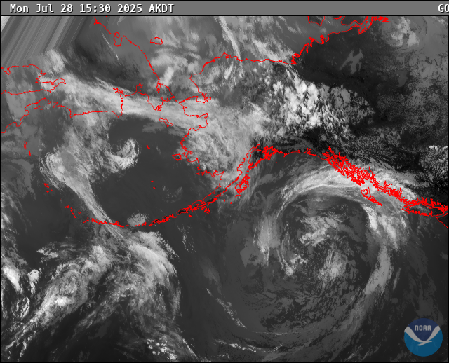
As a front over the southeastern Bering Sea pushes north, it will bring a messy combination of heavy snow, rain-snow mix, and rain to much of Western Alaska beginning on Wednesday and running through Friday. Between 2 and 8 inches of snow may fall in coastal locations, with between 1 and 4 inches for Interior valleys. The highest totals would likely be along the YK Delta coast. Precipitation will remain mostly or completely snow above 1500 feet in the Interior.
The front may set up from Golovin to Mountain Village, and there is a chance areas farther west may remain all snow.
https://forecast.weather.gov/MapClick.php?zoneid=AKZ816
#AlaskaWeather