Special Weather Statement, Western Capes, 2025-04-15 03:53 AKDT.
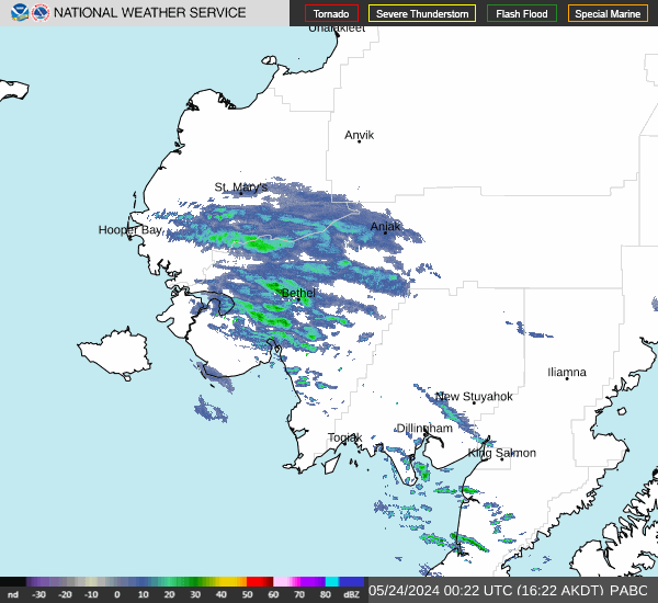
A strong low pressure system will send its front to the mainland coast early this afternoon and lift to the Western Capes by late this afternoon. Temperatures will initially be cold enough for snow as east-northeast winds also increase. The strongest winds, up to 30 to 40 mph, and worst conditions will be towards Cape Newenham. However, Platinum and Goodnews Bay will also see gusty winds up to 25 to 35 mph this afternoon and into the evening. These gusty winds combined with falling snow will cause visibility reductions at times, potentially down to one mile at times. Warmer temperatures will work in this evening and change precipitation over to a rain/snow mix and eventually to all rain which will improve visibilities. Winds will remain gusty into Wednesday morning.
https://forecast.weather.gov/MapClick.php?zoneid=AKZ757
#AlaskaWeather