Special Weather Statement, Southern Alaska Peninsula, 2025-04-16 04:22 AKDT.
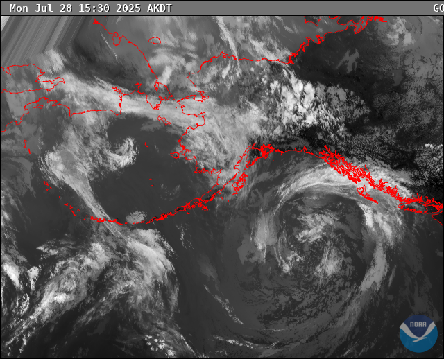
Rain showers will begin to transition to snow showers tonight across the southern Alaska Peninsula as cold air drops southward behind the weakening eastern Bering Sea low. Expect west-northwest winds to gust as high as 30 to 45 mph at times, especially overnight tonight and into Thursday morning. The combination of snow falling into the gusty winds could significantly reduce visibility. The greatest chance to see instances of visibility reduced to one mile, with brief periods of half-mile, will be in and around False Pass. Conditions will improve late Thursday morning into the afternoon as temperatures warm up.
https://forecast.weather.gov/MapClick.php?zoneid=AKZ781
#AlaskaWeather