Winter Storm Warning, Eastern Aleutians, 2025-04-16 05:01 AKDT.
WHAT...Heavy snow and blowing snow expected. Storm total snow accumulations of 8 to 20 inches, lowest amounts at sea level. Northerly wind gusts as high as 50 to 65 mph. Visibility reduced to one-half mile or less at times.
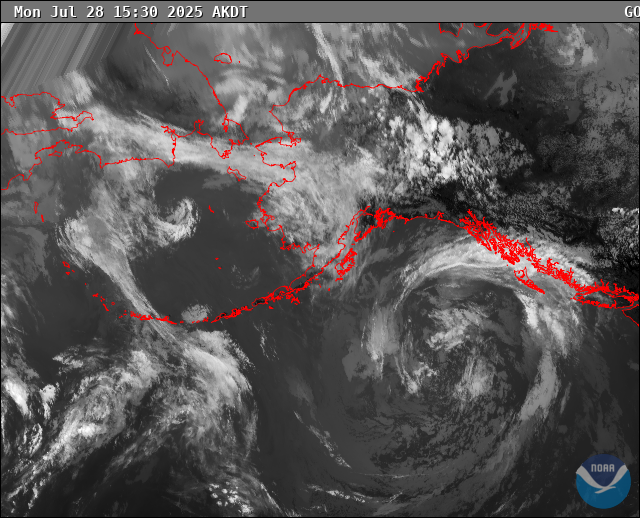
WHERE...Eastern Aleutians.
WHEN...Until 1 AM AKDT Thursday.
IMPACTS...Travel could be very difficult. Areas of blowing snow could significantly reduce visibility. Strong winds could result in significant drifting of snow.
ADDITIONAL DETAILS...Snow and gusty winds will continue with the worst conditions through this morning. Precipitation rates will likely diminish through the latter half of today; however, gusty northerly winds, snow showers, and poor visibility could linger into early Thursday morning. Winds begin to diminish tonight into Thursday morning with conditions improving through the day.
https://forecast.weather.gov/MapClick.php?zoneid=AKZ785
#AlaskaWeather
WHAT...Heavy snow and blowing snow expected. Storm total snow accumulations of 8 to 20 inches, lowest amounts at sea level. Northerly wind gusts as high as 50 to 65 mph. Visibility reduced to one-half mile or less at times.
WHERE...Eastern Aleutians.
WHEN...Until 1 AM AKDT Thursday.
IMPACTS...Travel could be very difficult. Areas of blowing snow could significantly reduce visibility. Strong winds could result in significant drifting of snow.
ADDITIONAL DETAILS...Snow and gusty winds will continue with the worst conditions through this morning. Precipitation rates will likely diminish through the latter half of today; however, gusty northerly winds, snow showers, and poor visibility could linger into early Thursday morning. Winds begin to diminish tonight into Thursday morning with conditions improving through the day.
https://forecast.weather.gov/MapClick.php?zoneid=AKZ785
#AlaskaWeather