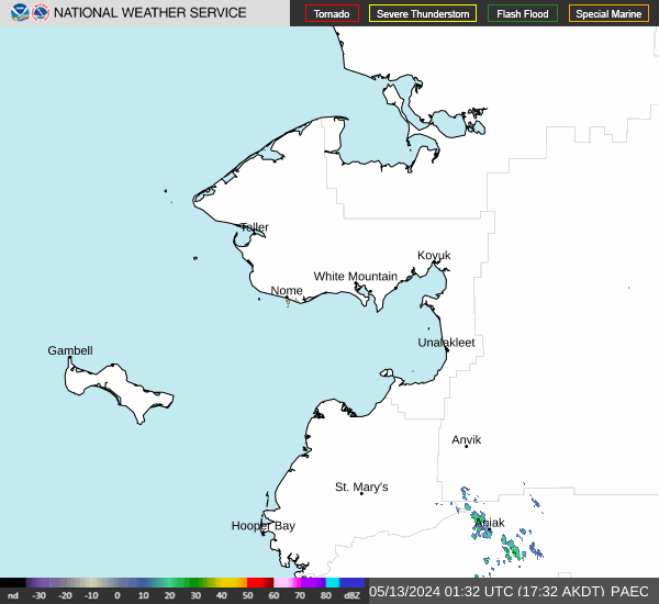
Special Weather Statement, Southern Seward Peninsula Coast; Interior Seward Peninsula; Eastern Norton Sound and Nulato Hills; Yukon Delta Coast; Lower Yukon River; St Lawrence Island; Middle Yukon Valley; Lower Yukon and Innoko Valleys, 2025-04-19 19:28 AKDT.
Rain/snow showers return to the Yukon Delta Sunday evening as the next system approaches and stretch north to the southern Seward Peninsula and St. Lawrence Island by Monday morning. Showers are expected to be a messy rain/snow mix with general snow accumulations of 1 to 2 inches along the coasts, up to an inch in the lower and middle Yukon valleys where much of the mix will be rain with occasional overnight snow showers, and snow accumulations up to 2 to 3 inches for St. Lawrence Island and the hills north of Nome.
https://forecast.weather.gov/MapClick.php?zoneid=AKZ822
#AlaskaWeather
