Special Weather Statement, Southern Seward Peninsula Coast; Interior Seward Peninsula; Eastern Norton Sound and Nulato Hills; Yukon Delta Coast; Lower Yukon River; St Lawrence Island; Middle Yukon Valley; Lower Yukon and Innoko Valleys, 2025-04-21 09:58 AKDT.
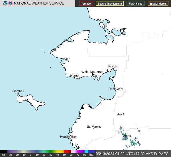
A band of rain/snow showers is stretching across the Yukon Delta, to St. Lawrence Island and up to the southern Seward Peninsula through tonight. Showers are expected to be a messy rain/snow mix, especially in the Yukon Delta and lower Yukon Valley where the mix will be more rain than snow. Snow becomes more dominant for areas from Shaktoolik north, but showers will be less frequent there keeping accumulations light. Higher snow accumulations of 1 to 3 inches in the Nulato Hills where much more of the precipitation will fall as snow. 2 to 3 inches of snow are expected for St. Lawrence Island where showers that are mostly snow will last into Tuesday night.
https://forecast.weather.gov/MapClick.php?zoneid=AKZ822
#AlaskaWeather