Special Weather Statement, White Mountains and High Terrain South of the Yukon River; Chatanika River Valley; Central Interior, 2025-06-18 17:48 AKDT.
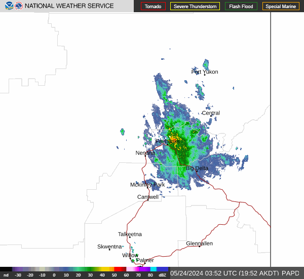
At 548 PM AKDT, Doppler radar was tracking a strong thunderstorm 18 miles north of Moose Mountain Ski Area, moving south at 20 mph.
HAZARD...Nickel size hail and frequent lightning.
SOURCE...Radar indicated.
IMPACT...Minor hail damage to vegetation is possible along with lightning hazards.
Locations impacted include... Wickersham Dome.
https://forecast.weather.gov/MapClick.php?zoneid=AKZ834
#AlaskaWeather