Special Weather Statement, White Mountains and High Terrain South of the Yukon River; Upper Chena River Valley, 2025-06-19 13:54 AKDT.
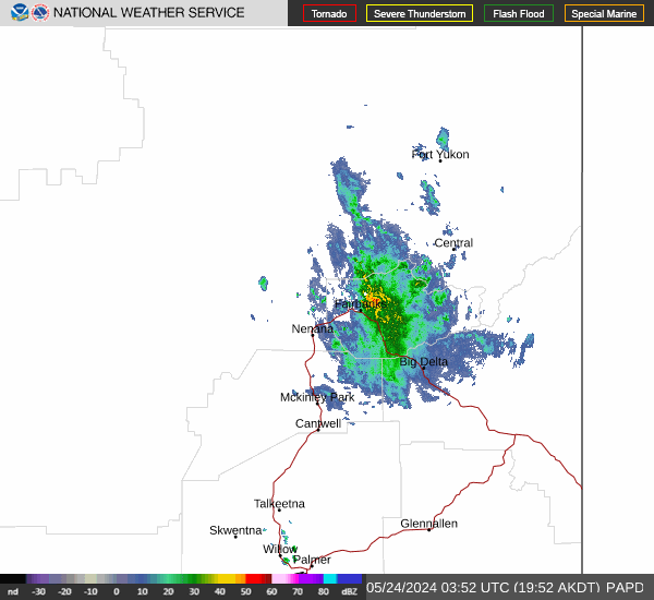
At 154 PM AKDT, Doppler radar was tracking a strong thunderstorm 21 miles south of Twelvemile Summit, moving southwest at 10 mph.
HAZARD...Wind gusts up to 40 mph and half inch hail.
SOURCE...Radar indicated.
IMPACT...Gusty winds could knock down tree limbs and blow around unsecured objects. Minor hail damage to vegetation is possible.
This storm will remain over mainly rural areas of eastern Yukon- Koyukuk Census Area and north central Fairbanks North Star Borough.
https://forecast.weather.gov/MapClick.php?zoneid=AKZ834
#AlaskaWeather