Special Weather Statement, Nenana, 2025-06-19 19:42 AKDT.
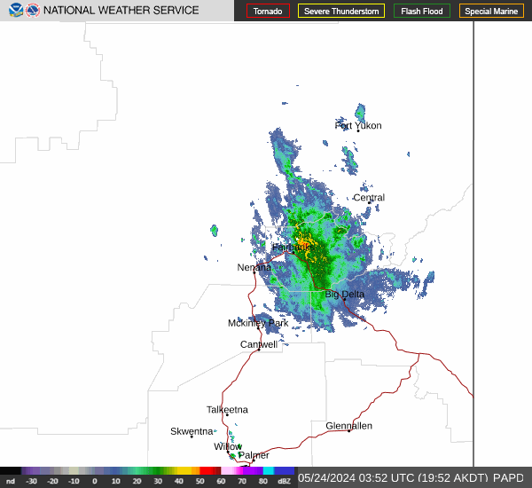
At 742 PM AKDT, Doppler radar was tracking a strong thunderstorm 12 miles northeast of Nenana.
HAZARD...Wind gusts up to 40 mph and half inch hail.
SOURCE...Radar indicated.
IMPACT...Gusty winds could knock down tree limbs and blow around unsecured objects. Minor hail damage to vegetation is possible.
This storm will remain over mainly rural areas of southeastern Yukon-Koyukuk.
https://forecast.weather.gov/MapClick.php?zoneid=AKZ845
#AlaskaWeather