Flood Watch, Ketchikan Gateway Borough; Annette Island, 2025-09-18 14:05 AKDT.
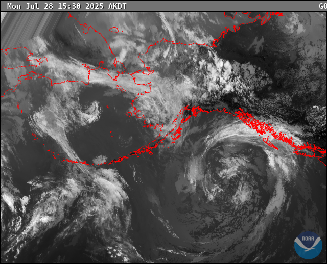
An anticipated AR will be moving into the panhandle Thursday through Saturday with a high confidence of bringing between 4 and 7 inches of rain in 48 hours to the southern half of the panhandle.
WHAT...Flooding caused by excessive rainfall continues to be possible.
WHERE...The following area, Southern Inner Channels. This includes the cities of Ketchikan And Metlakatla.
WHEN...From 10 PM AKDT this evening through Saturday evening.
IMPACTS...Excessive runoff may result in flooding of rivers, creeks, streams, other low-lying areas and flood-prone locations. There is a potential for isolated landslides in steep terrain.
ADDITIONAL DETAILS... - Multiple bands of rain are expected to move into and through the southern panhandle, and confidence continues to rise for the timing and expected amounts. Rain is expected to start Thursday night. The heaviest rainfall period is Friday afternoon into Saturday morning. Event totals are expected to be around 5 to 7 inches for the systems.
https://forecast.weather.gov/MapClick.php?zoneid=AKZ330
#AlaskaWeather