There's three ways to make a walk feel productive to me (which is a totally normal and non-brainrot goal to have for a walk, right?):

โ€“ Bringing my camera and photographing every bird I see.
โ€“ Going long (>2h), being quick, not taking breaks and achieving an average pace of at least 6 km/h. Exercise!
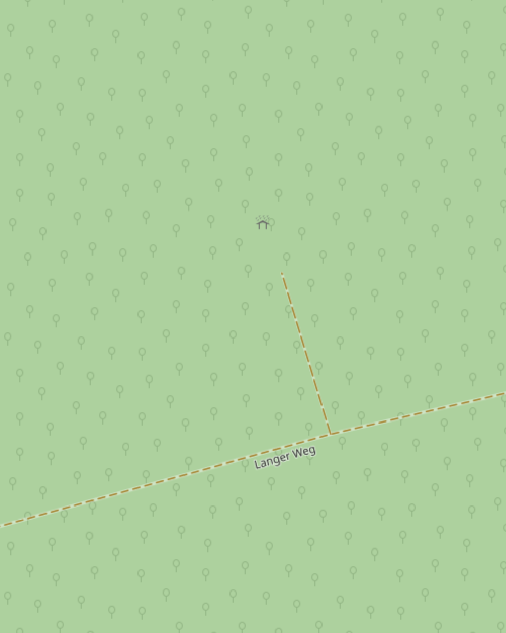
โ€“ Comparing OpenStreetMap to reality as I walk, taking notes, and later editing/improving/extending OSM accordingly.

This morning, it was #3 (almost combined with #2 โ€“ 5.9 km/h!).

Before & after:

Map of a forest path in OSM's Carto style, with a shorter path branching off to a shelter icon.Same, but now with much more detail: The shelter icon has been replaced with building outlines (cause it's two buildings) with entrances marked, some more detailed path mapping, and a grass area around the buildings.
0

If you have a fediverse account, you can quote this note from your own instance. Search https://mastodon.social/users/doersino/statuses/114604032768275019 on your instance and quote it. (Note that quoting is not supported in Mastodon.)