For urban planners, transportation advocates and spatial analysts,

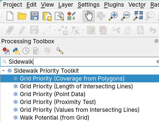
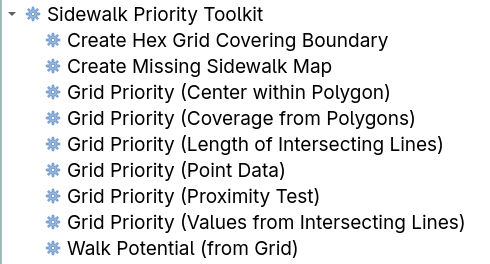
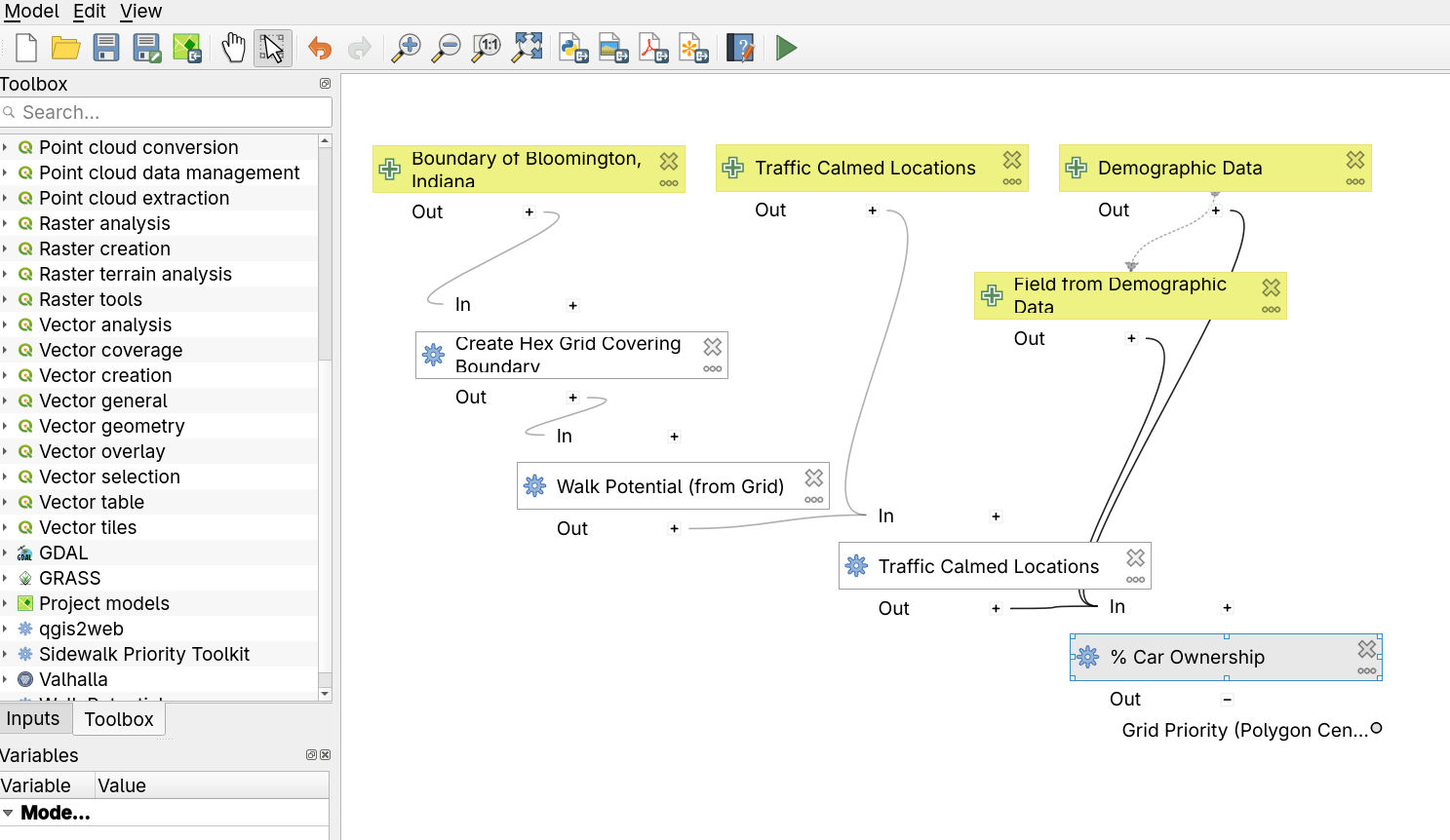
I'm making progress on packaging a number of algorithms useful for for building a heatmap useful for complex priority calculations. I developed these tools for figuring out the optimal location to fund sidewalks where demand was high and safety benefits would be maximal.

The toolkit is described more here:
mark.stosberg.com/toolkit-for-

In progress is plugin version with GUIs for easy use and customization.

Screenshot of QGIS GIS app showing some new algorithms appearing in the processing toolbox.

Update, I've added enough algorithms to my Sidewalk Priority Toolkit for in an initial release and tested it now with the QGIS model builder:

Successfully created a model which took several custom layers for a city and then was able to generate a heatmap which could factor in walk potential (demand) and other metrics like already traffic-calmed locations and demographic data like percentage of car ownership in the area.

Screenshot of algorithm listing
Screenshot of QGIS Model builder
0

If you have a fediverse account, you can quote this note from your own instance. Search https://urbanists.social/users/markstos/statuses/115789106561426309 on your instance and quote it. (Note that quoting is not supported in Mastodon.)