Flood Advisory, Western Susitna Valley; Southern Susitna Valley; Central Susitna Valley, 2025-06-20 17:33 AKDT.
WHAT...Flooding caused by snowmelt is expected.
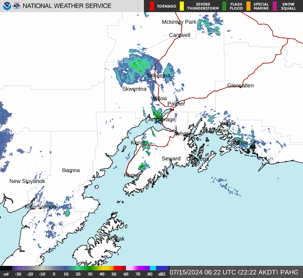
WHERE...the Yentna and Skwentna Rivers and other nearby tributaries.
WHEN...Until 1000 PM AKDT Sunday.
IMPACTS...Minor flooding in low-lying and poor drainage areas.
ADDITIONAL DETAILS... - At 532 PM AKDT, Warm temperatures are resulting in rapid snowmelt at higher elevations of the Western Alaska Range. This is leading to higher water levels across much of the Susitna Valley, especially along the Yentna and Skwentna Rivers. This will lead to minor flooding in low lying areas along these rivers this weekend. River levels will be highest during the late afternoon and evening hours in response to peak melting at the warmest time of day. Increasing cloud cover this weekend through early next week, will lead to gradual cooling of temperatures. Thus, snowmelt will lessen by late Sunday and allow water levels to begin to fall. - For Skwentna River at Skwentna: At 12:00pm the stage was 40.6 feet. Flood Stage is 42.0 feet. Forecast: A crest around 41.2 feet is expected around 10:00am Saturday.
Impacts: At 41.5 feet: Water starts to flow over low spots on the road which is adjacent to an active slough. There are five or so houses on this road including the Wx observers.
- For Yentna River at Lake Creek: At 4:00pm the stage was 20.4 feet. Flood Stage is 20.5 feet. Forecast: A crest around 20.6 feet is expected around 10:00am Sunday.
Impacts: At 20.5 feet: Anglers Inn & King Point Lodges will have water in several cabins.
- H
ttp://www.weather.gov/safety/floodhttps://forecast.weather.gov/MapClick.php?zoneid=AKZ745#AlaskaWeather


 はじまってる?


 🦭
🦭